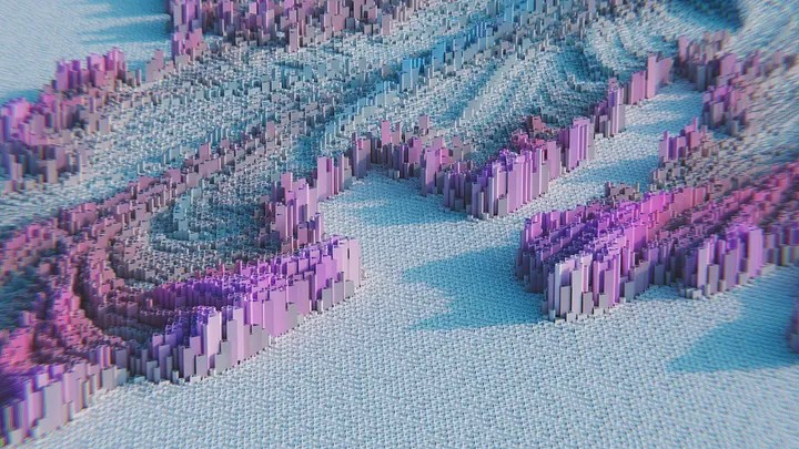
Embark on an exciting journey into the dynamic realm of 3D visualizations with Python! 🌍 These top-notch Python packages will elevate your geospatial data and provide you with the tools needed to create mesmerizing visual experiences, no advanced tech skills required! 🛰️ Whether you are a data scientist, a developer, or a visualization enthusiast, these libraries will help you unlock new potentials in 3D data representation.
📂 pydeck
🔗 pydeck
Overview:

Create dazzling 3D maps and visualizations effortlessly with pydeck, a Python library powered by Deck.gl. Pydeck is a versatile tool for anyone looking to present geospatial data in a more engaging and insightful way.
📂 pyvista
🔗 pyvista
Overview:

PyVista is your go-to Python library for visualizing and analyzing geospatial data. It boasts robust 3D visualization capabilities, allowing users to explore data from unique perspectives and gain deeper insights.
📂 plotly
🔗 plotly
Overview:

Plotly’s Python library empowers you to create interactive 3D visualizations, ranging from charts to maps. It’s a fantastic choice for those looking to develop dynamic, user-friendly visual content.
📂 HoloViews
Overview:

Design dynamic and interactive 3D plots with ease using HoloViews. This library is ideal for those who wish to tell captivating visual stories through advanced data visualization techniques.
📂 vispy
🔗 vispy
Overview:

VisPy is a high-performance Python library that specializes in 2D and 3D visualizations. Dive deep into the world of advanced visualization and explore new possibilities in data representation with VisPy.
📂 LavaVu
🔗 LavaVu
Overview:

Explore the realm of interactive 3D visualizations with LavaVu. This powerful library allows users to visualize geospatial data and other 3D data types interactively, making it a valuable tool for various applications.
Conclusion:
Discovering the right Python library for 3D visualizations can significantly enhance your ability to represent complex data interactively and engagingly. These libraries are not just for tech wizards; they are accessible tools for anyone looking to bring their data to life. Dive into the exciting world of 3D visualization and unlock new dimensions in data representation!
Wow !3D GIS ah Drake…wonderful!